Decision tool 1
Which part of Buckhead fits you?
Four questions. We score seven parts of Buckhead against your answers and show you the best three, with the trade-off for each.
How to read your result
The finder shows three areas in order, each with a short reason and a trade-off. The reason tells you why the area scored well on your answers. The trade-off is the thing most likely to change your mind, such as a long walk to rail, a city line close by, or a market that is mostly condos when you wanted a house.
Read the trade-off first. If it rules the area out, move to the next one. If it does not, open that area’s guide and its listings.
The map behind the finder
All seven areas hang off one road. Peachtree Road runs up from Peachtree Creek through Buckhead Village to Lenox and Phipps. West Paces Ferry Road heads west from the Village toward the house streets, and Roswell Road runs north toward Chastain Park. The simplified map below marks each area and the three MARTA stations.
- Peachtree corridor — condos and towers from Buckhead Village to Lenox and Phipps
- Tuxedo Park — residential streets around Tuxedo Road and West Paces Ferry
- Chastain Park — around the 268-acre park, near the Sandy Springs line
- Garden Hills — in-town streets south-east of Buckhead Village
- South Buckhead — along Peachtree Creek, closest to Midtown
- Northwest Buckhead — northwest Buckhead, mostly single-family
- Lindbergh — the Red and Gold Line transfer station
All seven areas
 01
NPU B · condos and towers
Peachtree Road corridor
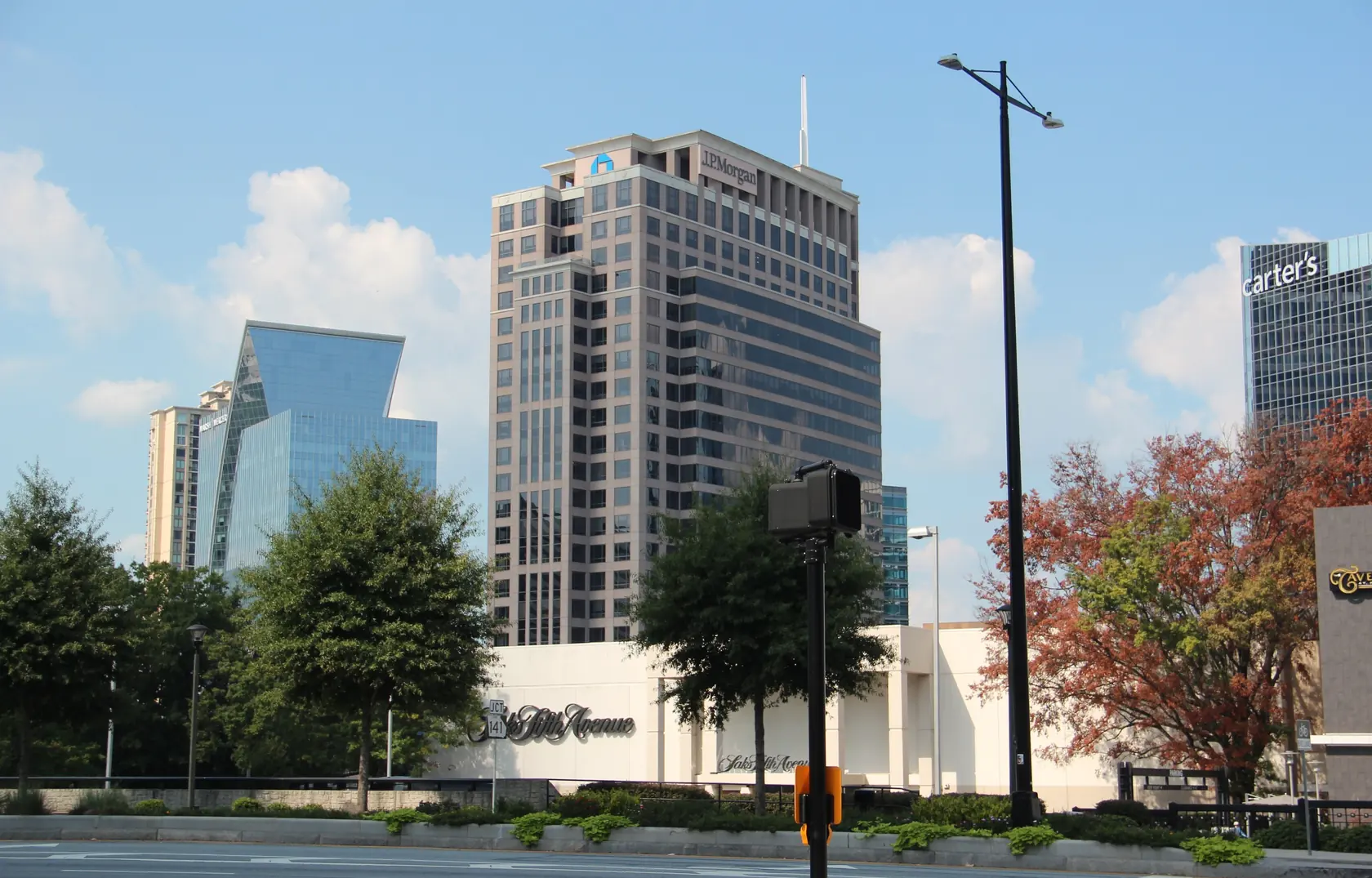
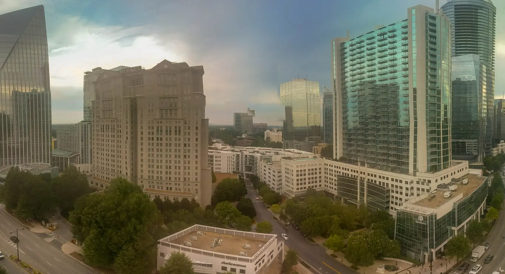
The commercial and high-rise spine of Buckhead along Peachtree Road, from Buckhead Village up to Lenox Square and Phipps Plaza, with two MARTA rail stations on different lines.
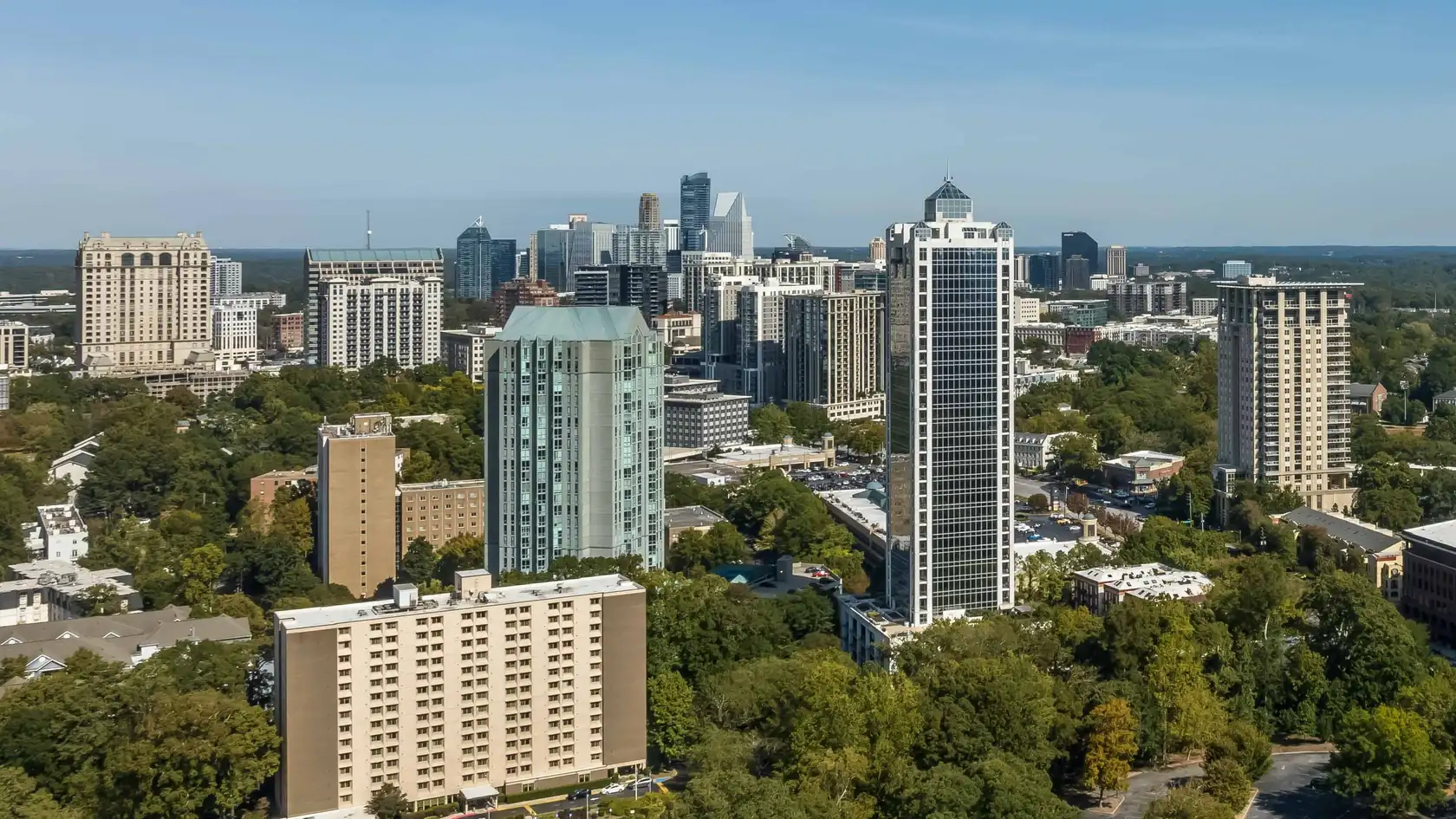
- Mostly mid- and high-rise condos
- Buckhead (Red) and Lenox (Gold) stations
- Buckhead Village to Phipps
Trade-off: Most homes here are condos, so the building’s documents, budget and FHA status matter as much as the unit; Buckhead and Lenox stations are on different MARTA lines.
Read the Peachtree corridor guide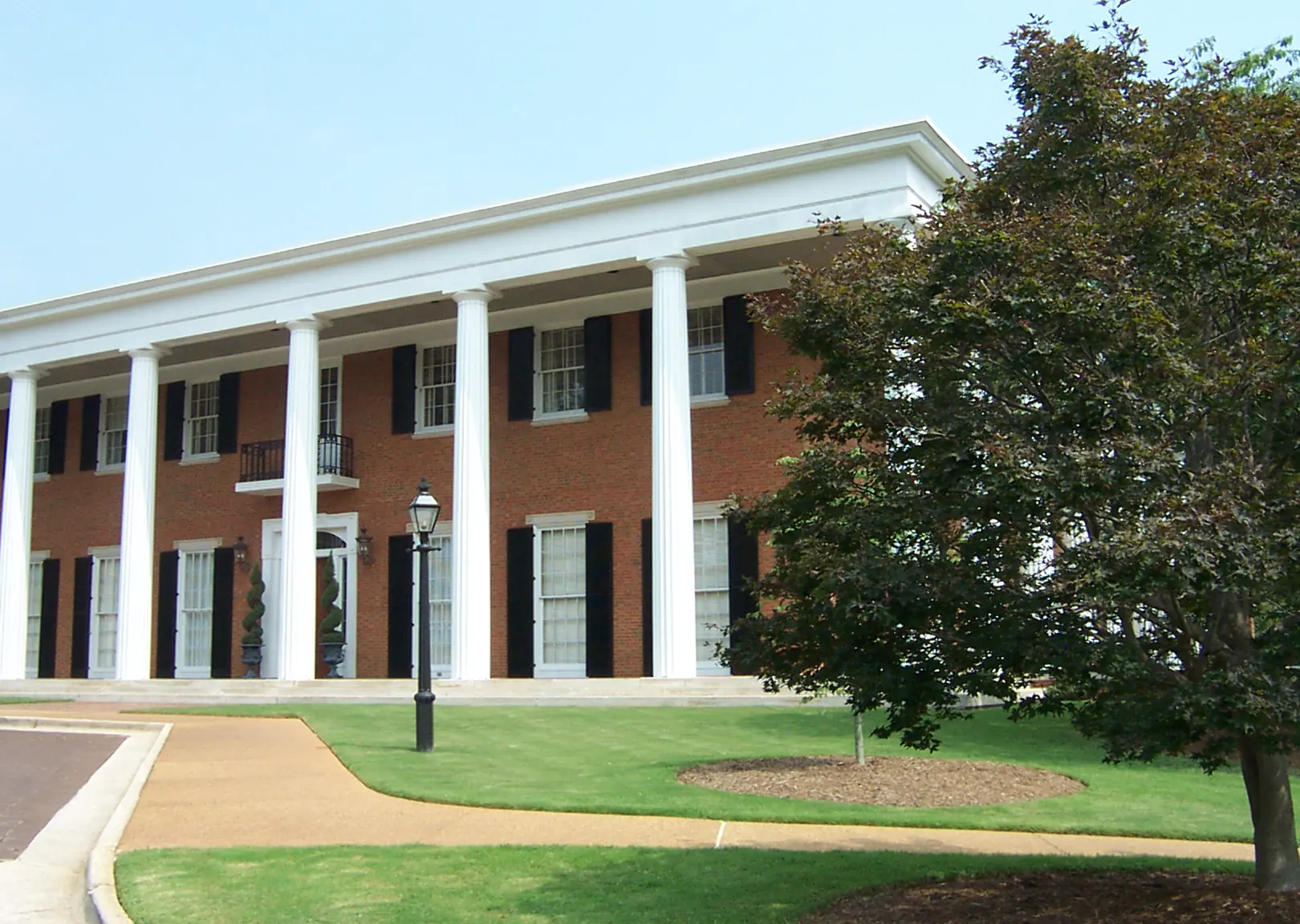 02
NPU A · residential streets
Tuxedo Park and West Paces Ferry
Residential streets around Tuxedo Road and West Paces Ferry Road, home to the Georgia Governor's Mansion and the Atlanta History Center.
- Governor’s Mansion
- Atlanta History Center
- City tree permits apply
Trade-off: Car-dependent: the centre point is about 2.5 miles on foot from the nearest rail station, and removing a regulated tree needs a City Arborist permit.
Read the Tuxedo Park guide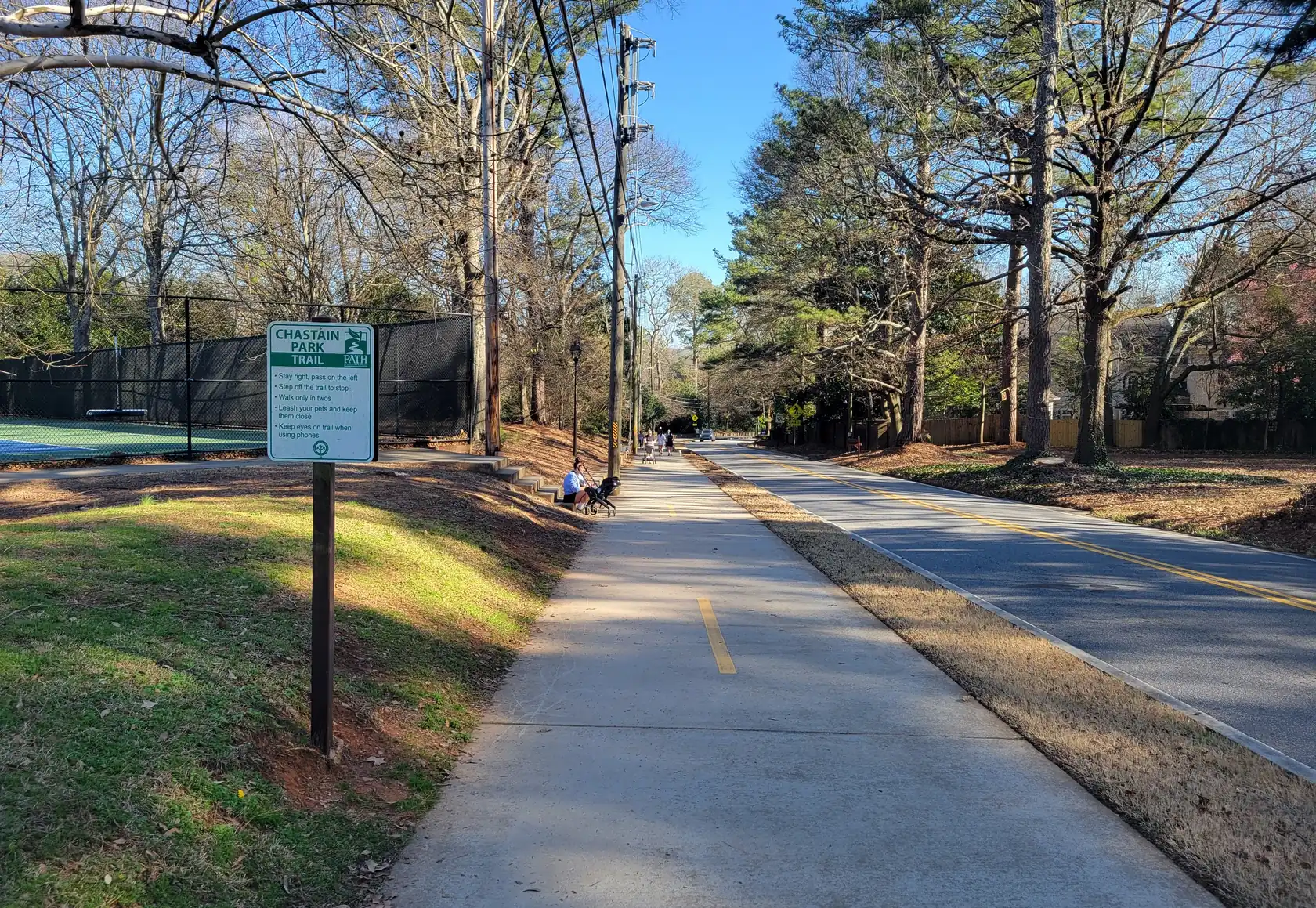 03
NPU A and B · by the park
Chastain Park and North Buckhead
Neighborhoods around Chastain Park, the large City park with an amphitheatre, golf, tennis and a horse park, on the north edge of the City where Sandy Springs begins.
- 268-acre City park
- Sandy Springs line nearby
- No rail nearby
Trade-off: It sits near the Sandy Springs city line, so confirm on the parcel record that a home is in the City of Atlanta; the nearest rail station is about 3.2 miles on foot.
Read the Chastain Park guide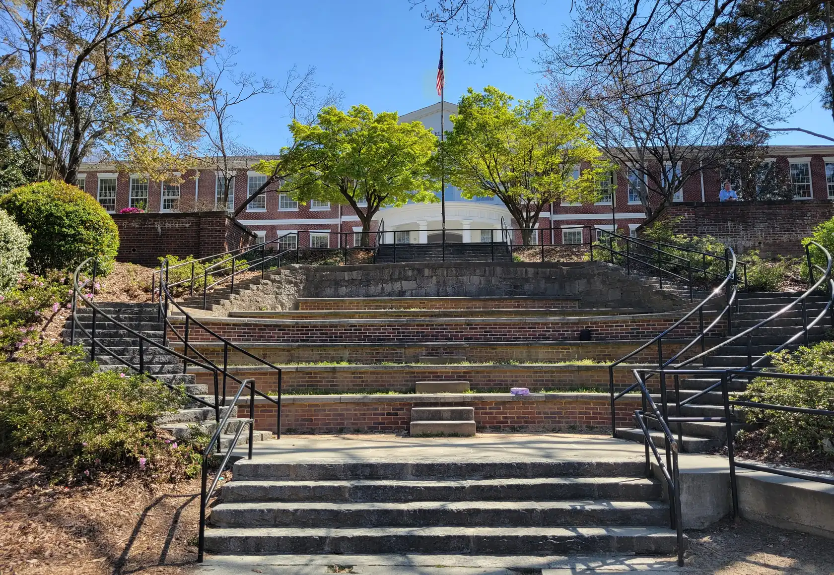 04
NPU B · in-town streets
Garden Hills and Peachtree Park
In-town neighborhoods just south-east of Buckhead Village, about a mile on foot from Lindbergh Center station.
- About a mile on foot to Lindbergh
- Older housing stock in 30305
- Close to Buckhead Village
Trade-off: ZIP 30305 mixes older houses with large apartment and condo buildings, so a street can change character quickly; check each parcel and the City tree rules before you plan work.
Read the Garden Hills guide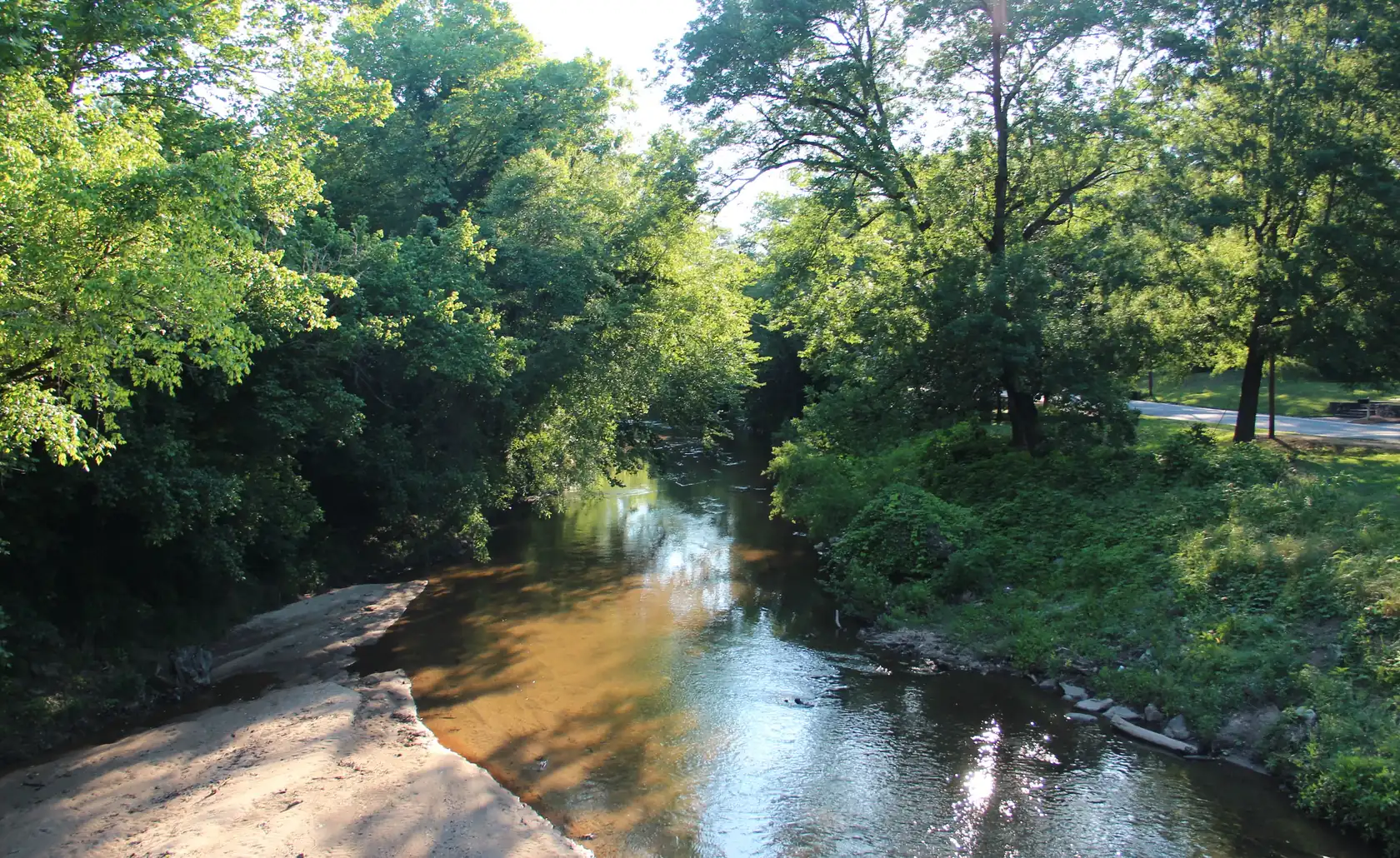 05
NPU B and C · by the creek
South Buckhead along Peachtree Creek
Neighborhoods along Peachtree Creek and Northside Drive at Buckhead's south end, near Atlanta Memorial Park, Bitsy Grant tennis and Bobby Jones golf, a short drive to Midtown.
- About 5 min to Midtown by car (OSRM)
- Memorial Park and Bitsy Grant
- Check the flood map
Trade-off: Neighborhoods follow Peachtree Creek, so check FEMA’s flood map for the exact parcel; Brookwood Hills and Ardmore, often marketed with this area, are officially NPU E.
Read the South Buckhead guide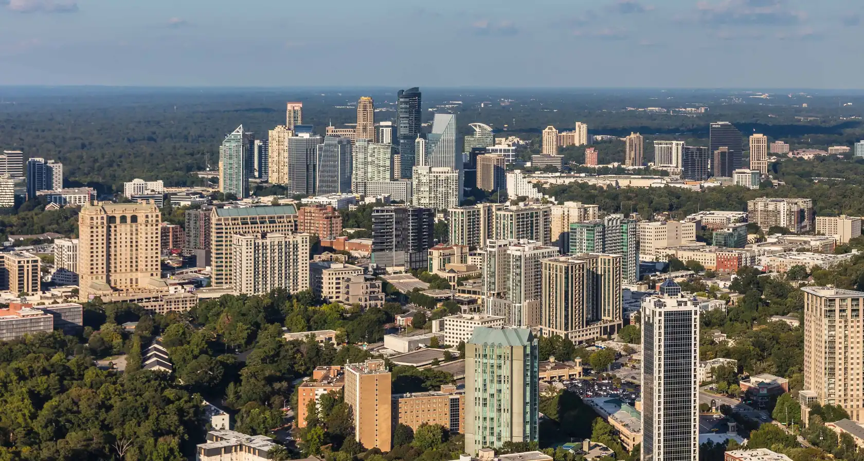 06
NPU A · mostly single-family
Paces, Mt. Paran and Northside
Northwest Buckhead around Paces Ferry Road, Mount Paran Road and Northside Drive, with several private-school campuses and the quickest drive in Buckhead to Truist Park and Cobb County.
- ZIP 30327: 61.2% detached houses
- Quickest drive to Truist Park
- Up to the Sandy Springs line
Trade-off: No practical rail access, and parts of ZIP 30327 are in Sandy Springs, so an “Atlanta, GA 30327” address still needs a parcel check.
Read the Northwest Buckhead guide 07
NPU B · the transit hub
Lindbergh along Piedmont Road
Buckhead's southern transit hub around Lindbergh Center, the one MARTA station in Buckhead served by both the Red and Gold lines.
- Lindbergh Center: Red and Gold
- Transfer point between branches
- 26 min average train to the airport
Trade-off: It is Buckhead’s best-connected rail spot, but the area-level housing mix is not published, so judge each building or street on its own documents.
Read the Lindbergh guideHow the scores work
Each answer adds points to each area based on what our research could confirm about it, and nothing else. This is an editorial reading of each area, not a ranking.
- What matters most. Condo and walking answers favor the Peachtree corridor and Lindbergh. Quiet residential streets and tree canopy favor Tuxedo Park and northwest Buckhead. A big park favors Chastain Park and the Peachtree Creek area.
- Kind of home. Where the Census or the area research shows mostly condos or mostly houses, the score follows it. Where no source splits the housing mix, the area gets a middle score.
- MARTA rail. Scores follow walking estimates from each area’s centre point to the nearest station. The Peachtree corridor and Lindbergh score highest; Tuxedo Park, Chastain Park and northwest Buckhead score lowest.
- Where you drive. Scores follow the no-traffic OSRM estimates on the drive-times page. Real trips usually take longer than these estimates.
Estimated walking routes on the OpenStreetMap foot network: Lindbergh Center station is about 0.2 mi from the Lindbergh area point and about 1.1 mi from Garden Hills Park. Buckhead station is about 1.0 mi from the Buckhead Village point. The Tuxedo Road, Chastain Park and Mount Paran points are each 2.5 mi or more on foot from the nearest MARTA rail station. (OpenStreetMap routing (OSRM), checked 2026-10-19)
Where we found no source for a trait, we never guess yes or no. The area keeps a middle score and its guide tells you what to ask.
Results that surprise people
A few answer combinations pull against each other. When your top three look odd, one of these is usually why.
Rail and a detached house
The areas with the best rail access are mostly condos, and the house streets are mostly a long walk from a station. Garden Hills and Peachtree Park sit in between: the ZIP area mixes older houses with larger buildings, and the park is about a mile on foot from Lindbergh Center. If you want both, that is the area to read first.
Buckhead and Lenox stations are on different lines
North of Lindbergh Center the two lines split. The Red Line (toward North Springs) serves Buckhead Station and then Medical Center. The Gold Line (toward Doraville) serves Lenox and then Brookhaven/Oglethorpe. To ride between Buckhead Station and Lenox Station, you change trains at Lindbergh. (MARTA, checked 2026-10-19)
If your work or school is near one of those two stations, a home near the other one may mean a change of trains. Lindbergh Center is the one station in Buckhead on both lines.
Midtown is close from two directions
Lindbergh and South Buckhead along Peachtree Creek both come out at about 5 minutes to Midtown with no traffic (OSRM estimate), so the finder scores them close together. Treat them as a tie and let the other answers decide.
The north edge needs a parcel check
Chastain Park and the Paces and Mount Paran streets run up to the Sandy Springs line. A strong score there is a reason to look, not proof that a particular home is in the City of Atlanta.
What the finder leaves out
The finder does not score prices, school quality or who lives in an area. Prices change with every listing. School assignment depends on the exact address, so check the APS School Zone Locator. And we describe places, roads, rules and transit, never people.
Before you trust a result
Area lines here are descriptive, not legal. Any single home near the north edge can sit in Sandy Springs while reading Atlanta, GA, so once a house catches your eye, check its tax district on Fulton County’s qPublic parcel search. The neighborhood comparison shows how the seven areas line up with the City’s official neighborhood lists.
Next step
Open the guide for your top area, then browse current Buckhead listings or run a home through the due-diligence checker.
Rules, rates and maps change. Every rule on this page links to the office that sets it; confirm with that office before you rely on it.